Abstract: This note describes the content of LUNDIsim dataset. It consists in five main meshes in GRDECL format: one common hexaedral (Corner Point Grid) mesh model, plus four meshes filled with permeability and porosity values, corresponding to distinct subsurface environments. The latter four meshes are provided with lower-resolution versions, meant for geoscience, reversoir engineering, and data science applications (rendering, simulation, upscaling, compression, learning). It is available at Zenodo https://doi.org/10.5281/zenodo.14641959
KEYWORDS: geoscience, reservoir simulation, model mesh, scientific data

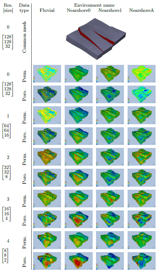
Visualization of LUNDIsim meshes and associated properties. Top: common model mesh with three faults. Bottom: permeability and porosity properties for all four environments (right-most columns: Fluvial, Nearshore0, Nearshore1, NearshoreA), for each of five available resolutions (bottom-most rows). Data type, resolution and size are given as row headers